Living Wales story
Using a combination of satellite data, computer analysis and input from the public on the ground, Living Wales is capturing incredible details on the Welsh landscape and how it has changed over the past 35 years. The resulting maps are being made available through our interactive displays, including the Living Wales geoportal.
Working with and supporting existing initiatives, Living Wales collates, processes, and analyses the vast and rapidly increasing archive of optical and radar satellite observations over Wales. Capturing the data historically and increasingly in near real time, the project is providing new information on the impacts of human and climate drivers of change, and also informing how we can respond to these going forward.
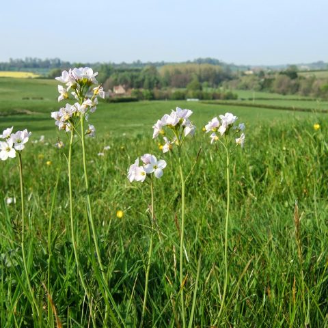
By observing our landscapes over time, we gain new and often surprising insights into the ways that the activities of people have led to what we see today, and how they've influenced and altered the distribution of our ecosystems, the flora and fauna they contain, and the overall quality of our environment.
The project and its data can give us a new perspective and make many contributions to Wales – such as helping manage solutions in the future - including lowering carbon emissions and restoring the nation's flora, fauna, and landscapes. This is particularly important given its relevance to Wales' Future Generations Act 2015.
We anticipate that the maps will make a valuable contribution to the direction of policy and future land use in Wales. For example, Earth observations can tell us what's worked in the past and this can help industries, such as forestry and agriculture, work towards ensuring a strong and sustainable future for the Welsh environment.
Ultimately, our ambition for Living Wales is that everyone gets the chance to see what's happening across our landscape, and to help Wales respond to the environmental challenges it faces. By making the data openly available and providing ground-based technologies, we believe that everyone in Wales – from landowners to members of the public - can make a valuable contribution to the continuous improvement of monitoring of the land and its varying dimensions, but also provide information that can support sustainable use and management in the long term.
To further encourage engagement, we have set up the Living Wales Exhibition and Training Centre at the Centre for Alternative Technology, where the public can interact with and explore the maps. We are also planning a future exhibition in Old College, Aberystwyth University and are releasing a mobile application called EarthTrack. This will allow people to contribute ground level information that can advance our methods, our mapping of land cover and change. We also provide a range of teaching and learning resources relevant to schools and universities.
Useful learnings from Living Wales
Living Wales is a project that has been progressively developed over fifteen years and involved discussion, interaction and collaboration with many individuals, groups, and organisations from across the world, but particularly from Australia and Europe. These have included Geoscience Australia, CSIRO and the University of New South Wales and organisations such as Welsh Water, Forest Research, Natural Resources Wales the Joint Nature Conservation Committee, and National Parks across Wales. The contributions and high-level expertise in Earth observation, environmental science and computing provided major and invaluable contributions to the project. However, the vision of Living Wales would not have been realised if we had not had the support from the Welsh Government, including their Sêr Cymru team and the European Regional Development Fund (ERDF).
Something that all the people we worked with had in common was that they recognised the value of our approach and how this could lead to a step change in understanding, monitoring, and planning our environment, particularly given the current climate and biodiversity crises and the urgency to become sustainable in the use of our land.
We've also had a great team on the project. Over the past fifteen years we've had post-doctoral teams involved in Wales and in Australia, working on different elements along the way. We drew inspiration from numerous projects and people, but Living Wales is unique, innovative and helpful, and I think that's why it's proving to be successful.
Living Wales metrics
Our major achievements have been the release of spatial resolution land cover maps for Wales for multiple years, which are available on the Living Wales geoportal. These maps are openly available, and our measure of success now is the level of uptake by people who will use these across multiple domains including land management, resource use, nature conservation and policy.